 |
|||||||||||||||
|
|
|||||||||||||||
 |
|||||||||||||||
 |
|||||||||||||||
|
Last modification: January 2011 |
|||||||||||||||
|
|
|
||||||||||||||||||||||
|
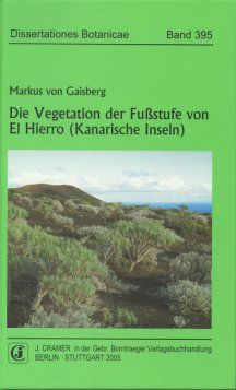
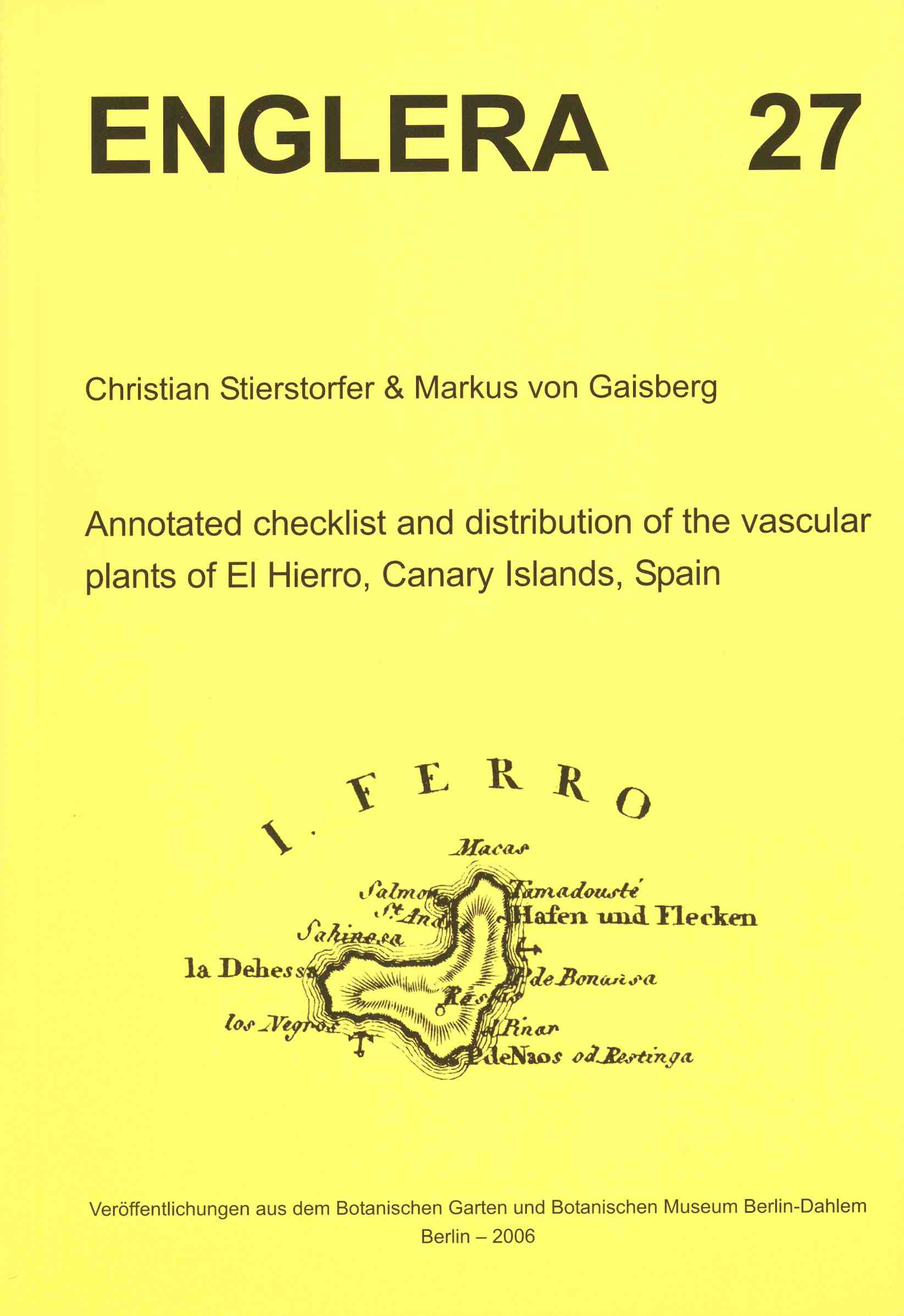
Flora and Vegetation of El Hierro are investigated as a contribution to the biodiversity research of the Canary Islands El Hierro, which has been announced as a Biosphere Reserve of the UNESCO in the year 2000, is the smallest of the Canary Islands (c. 270 km²) and is located at the south-western edge of the archipelago. The weather is mostly dominated by the NE trade-winds. Since 1997 the flora and vegetation of the island (highest elevation: 1501 m a.s.l.) have been the object of a research project supervised by Prof. Dr. Peter Schönfelder (Chorology and vegetation science, Institute of Botany at the University of Regensburg, Germany). The distribution (chorology) and the phytosociological context of all vascular plants of El Hierro are the objects two theses prepared by Dr. Markus v. Gaisberg and Dr. Christian Stierstorfer. The results of the phytosociological investigations are presented in the Dissertationes Botanicae (vol. 393 and 395, Stierstorfer 2005 und v. Gaisberg 2005), the chorological and floristic data about the vascular plants are going to be published in a critical checklist with distribution maps (Stierstorfer & v. Gaisberg 2006, see also Hierro-Flora-Forum). |
 |
 |
 |
||||
|
Travel to El Hierro March 2008, see report (German) |
||||||
|
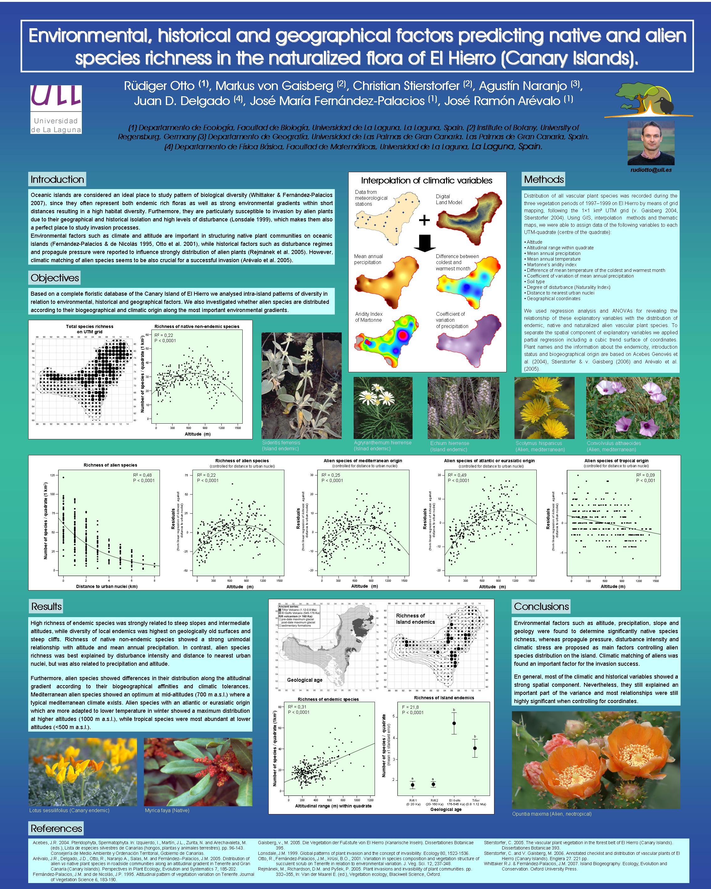
An ongoing project in cooperation with the Departamento de Ecología of the Universidad de La Laguna, Tenerife ( Prof. Dr. José María Fernández Palacios und Dr. Rüdiger Otto) focuses on the analyses of the databank with multivariate and statistic methods (Island Ecology and Biogeography Research Group). For first results see this poster and the abstract. El Hierro has been divided into two research areas according to the vertical zoning of the vegetation: Dr. Markus v. Gaisberg has been investigating the flora and vegetation of the lower altitudes of the island, where one can find coastal vegetation, succulent scrub and rock communities as well as substitute communities in areas disturbed by humans. Dr. Christian Stierstorfer has been investigating the higher altitudes of El Hierro. On the southern slopes one can find Canary pine woods above c. 600 m a.s.l., laurel forest (or the Myrica-Erica scrub when degraded) grows on the steep northern slopes above c. 400 m a.s.l. Like in the lower zone the rock communities and the substitute communities (e.g., pastures and ruderal communities) have also been investigated. The entire distribution of every taxon has been investigated by means of grid mapping following the 1×1 km² UTM grid (Universe Transverse Mercator projection WGS-84). As a result rather complete lists of the plant taxa for every 1×1 km² square can be processed in a database. Hence distribution maps for all taxa can be provided (see map example). Furthermore the diversity of the plant communities were documented by almost 1500 phytosociological relevés (method following the "Zürich-Montpellier School" of Braun-Blanquet). The vegetational surveys were sorted in phytosociological tables and the plant communities hence can be differenciated, named (according to the synsystematic nomenclature) and ecologically characterized. The databases were processed by the interactive programmes for floristic data FLOREIN (Subal 1997) and TABEIN (Jahn 1993). This database is rather complete compiling both the chorological-floristic and phytosociological data of the island. With these data numerous further analyses can be made. An example are the patterns of the core areas of the endemics which allow to advance hypotheses about the evolution under the specific conditions of El Hierro (v. Gaisberg & Stierstorfer 2003, 2005). |
|
|

|
The data and results are also integrated into the spanish conservation projects AFA (Atlas de Flora Amenazada) and Estrategia Canaria de Biodiversidad . |
|
Literature cited: Publications resulting from the project Flora und Vegetation of El Hierro Jahn, R. 1993: TABEIN, ein Zusatzprogramm zu Florein für die Pflanzensoziologie. Flor. Rundbriefe 27 (2): 67-70. Subal, W. 1997: FLOREIN, Interaktives Programm zur Bearbeitung floristischer Daten, Version 5.0. Hrsg.: Zentralstelle für die Floristische Kartierung Deutschlands. 144 pp. + app. |
|
|

